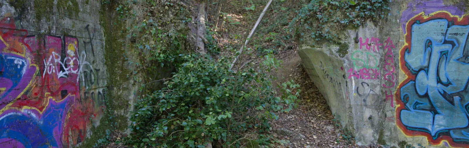
Lesson learned from this trip: Forests do not make good shortcuts. I found this out the hard way on my way to an abandoned iron-ore mine near Freiburg im Breisgau. My maps application showed me a longish loop on a path through the forest. I thought “I know better. I’ll cut straight across. Where I’m going, I don’t need roads!”
Yeah. Well. After falling on my arse about five times, I realised that the loop offered a gentler way downhill than the steep descent through branches, brambles and other apparently hostile plant life.
Eventually, I found what’s left of the Eisenerzbergwerk Schönberg, and my first impression was a slight disappointment. The description I was given spoke of clear signs of mining infrastructure; all I found was a jumble of graffiti-covered concrete blocks.
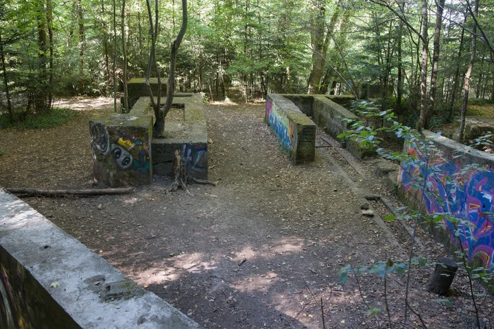
Still, my by now quite sore bum and I had made it that far, so I wasn’t just going to turn around and leave. There was an abandoned place, and Enkataleiptic research had to be done. I took some photos. First an overview of the place, then I started looking for details. I didn’t really expect to find any apart from “concrete corner in neon green” - but then I noticed an old hinge peg. Quite a large old hinge peg – it looked large enough to hold quite a substantial door in its time.
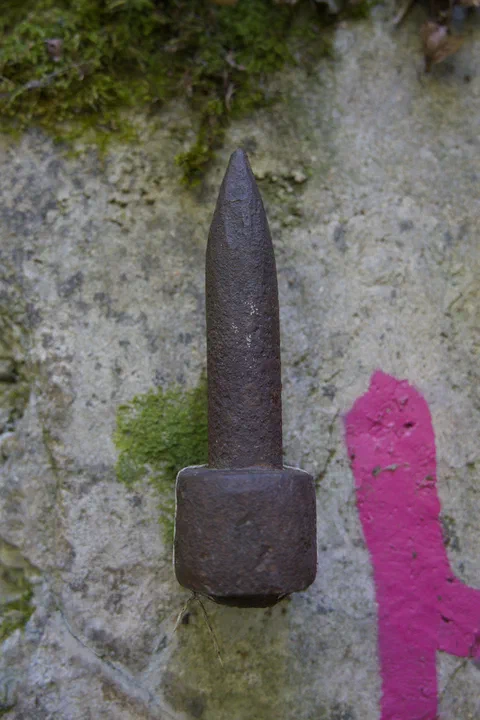
That peg looked intriguing. Especially after I noticed that the wall behind it had a peculiar shape: It was vaulted. There was not much left of it, but what was there was not a normal building wall, but something that looked much more like a tunnel entrance. The curve was intentional, with the impressions of the timber formwork still clearly visible.
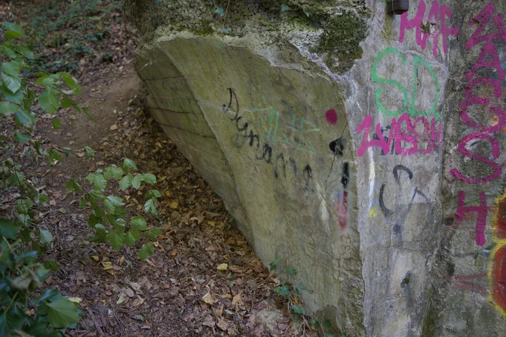
This is where the research started. I only knew this had been some type of mine, the name of one of its shafts (Mösleschacht) and I had the coordinates. This led me to a map of the former Schönberg iron-ore mine. And indeed, when I compared the map with the contour lines, the paths in the area and the remains of the buildings, I could establish that this slice of vaulted concrete had at some stage been the entrance to the main adit – drawn on the map in light blue and leading roughly northwest.
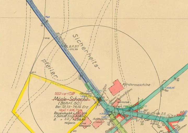
The map is in the public domain, it came with a link to its original website, which was published more than twenty years ago and looks the part: All black, neon green text, “Best viewed with Firefox” and a “Je suis Charlie” label added a bit later. I won’t repeat what the site says about the mine; you can check it yourself here.
Researching this place made me think of the motto of Baumann Enkataleiptics: “Documenting what remains”. At the moment, the map, the old website – another surviving artefact, complete with the fashions and accumulated additions of its own time – and the concrete in the forest can still be found. By putting them here, I’m establishing another small trace of the old iron-ore mine – a memory of sliding down a forest, slight disappointment at first and a discovery that there was actually something to write about after all.
On the way back up, I didn’t take any shortcuts. Lesson learned.